
SEE THE MOUNTAIN. FIND YOUR DAY.
Explore Mount Shasta in 3D.
See the terrain, follow mapped trails, find a place in town, and build a day around Mount Shasta, Weed and McCloud. Start exploring in your browser.
Source review: · Our editorial approach
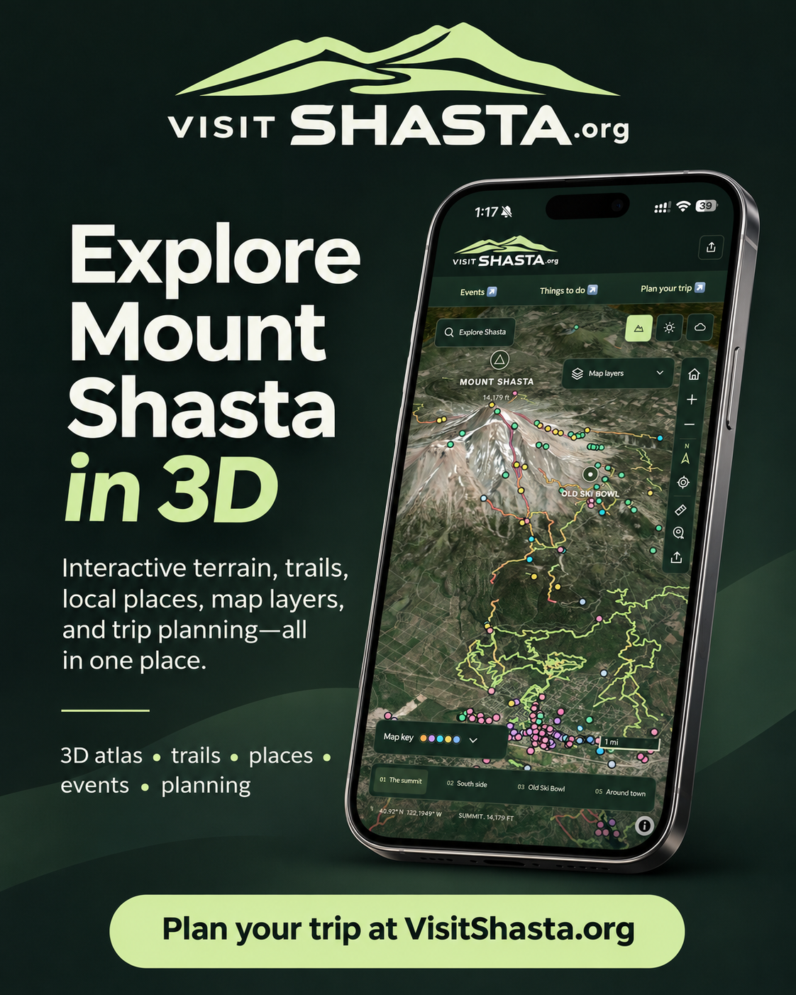
Get a feel for the mountain before you go.
Turn the terrain, compare a mapped trail’s elevation profile, and use the colored place markers to find food, camping, trail references and local services.
Open the 3D map ↗No account or app download needed. The live map uses an internet connection and a browser that supports WebGL.
See the terrain
Switch satellite and topographic views, tilt the mountain and explore estimated trail grades.
Make it a three-town trip
Explore Mount Shasta, Weed and McCloud, then compare local places and dated events.
Plan for changing conditions
Check linked weather, access notices and mountain safety sources before an outing.
Pick a place to begin
Mount Shasta City
Start with the town guide, nearby outings and places to eat.
Weed
Explore the northwestern side of the region and local stops.
McCloud
Build a McCloud day with town time, local history and nearby recreation.
Plan your visit
Choose dates, browse selected events and keep a flexible backup plan.
A map is a starting point
Mapped coverage and access information are incomplete. Trail grade is estimated steepness, not a safety or difficulty clearance. Seasonal roads, bridges, snow and restrictions can change.
VisitShasta recommends a qualified, permitted professional mountain guide for every summit attempt. Read the mountain safety guide before planning mountain travel.
Map data © OpenStreetMap contributors, ODbL. Imagery, elevation and other provider credits are available in the interactive atlas sources and attribution.