
THE MOUNTAIN, DOCUMENTED
Mount Shasta City
The mountain’s base camp, and a living community.
At the foot of the volcano, Mount Shasta connects the mountain highway, local trails, visitor services and everyday town life. Its mapped businesses come from OpenStreetMap and should be checked with the business before relying on hours or supplies.
Explore Mount Shasta City in 3D ↗Editorial review: November 1, 2026 at 04:58 UTC. Source dates vary.
By the VisitShasta.org editorial team · Send a correction
This guide preserves a dated review. Confirm current road access, land-manager orders, weather and snow conditions with the original sources. A mapped route does not establish legal access or safety. Open the atlas conditions desk for separately dated live products.
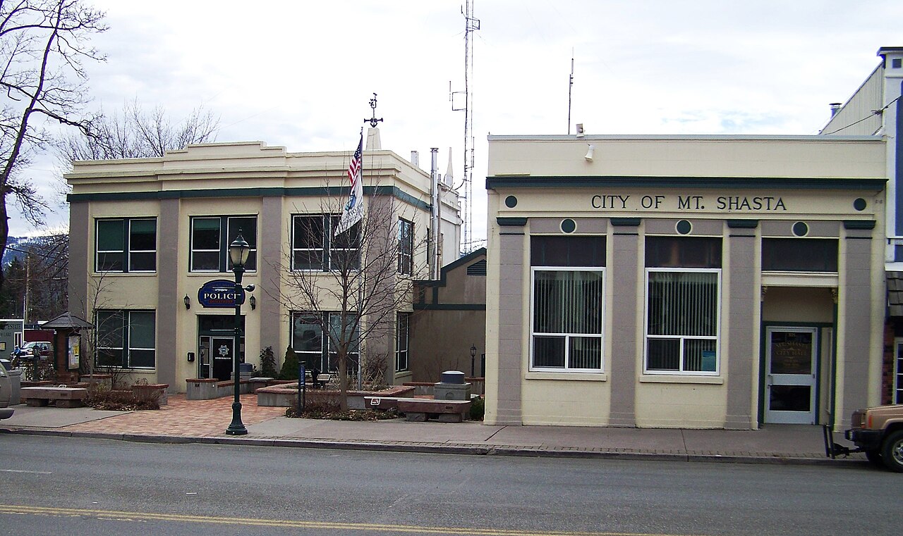
Cullen328 photo by Jim Heaphy · CC BY-SA 3.0 · Original file and attribution
Wikimedia-generated thumbnail; no atlas crop or color edits. Photograph date: 2011-01-23.
Explore this place
- Find food, lodging, gear and trailhead information on the map.
- Visit the museum for deeper local history.
- Connect a town walk with the surrounding trail systems.
Read the land
A town in Strawberry Valley between the mountain, Black Butte and the Upper Sacramento watershed.
Planning, access and history
Local contacts
The Chamber visitor-information page collects travel updates and local contacts. Dates vary within the page, so read the update attached to each claim.
Public services
Use the city’s official site for municipal information; use land-manager sources for mountain permits, roads and restrictions.
Original sources
Read articles and official documents at their publishers. “Page checked” records a retrieval or metadata check, not confirmation that every statement remains current. Older observations and reports are historical context.
- Visitor information and dated road updates
Mount Shasta Chamber of Commerce · Local Guide
Editorial review: November 1, 2026 at 04:58 UTC · Page checked: November 1, 2026 at 04:58 UTC
Static reference; recheck access, fees and rules before travel
- City of Mount Shasta · official services
City of Mount Shasta · Official
Page checked: November 1, 2026 at 04:58 UTC
Static reference; recheck access, fees and rules before travel
- Mount Shasta Sisson Museum
Mount Shasta Sisson Museum · History
Page checked: November 1, 2026 at 04:58 UTC
Static reference; recheck access, fees and rules before travel
- Mount Shasta Police and City Hall.jpg · image and license
Wikimedia Commons · Photography
Page checked: November 1, 2026 at 04:59 UTC
- Mount Shasta recreation area
US Forest Service · Official
Publisher updated: October 1, 2026 · Editorial review: November 1, 2026 at 04:58 UTC · Page checked: November 1, 2026 at 04:58 UTC
Static reference; recheck access, fees and rules before travel
- Mount Shasta, California
Wikipedia contributors · Encyclopedia
Page checked: November 1, 2026 at 04:58 UTC
Static reference; recheck access, fees and rules before travel
